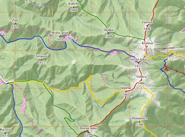
VeloViewer Explorer tile grid overlay in the mobile app
-
Hi,
a lot of people I know (me included :-)) are avid fans of tile collecting. It was introduced back in 2015 by Ben Lowe of VeloViewer fame (https://blog.veloviewer.com/veloviewer-explorer-score-and-max-square/) and is now supported by quite a few more services like https://squadrats.com/ or https://www.statshunters.com/.
It is based around how many squares you have passed through from all of your activities. The squares themselves are based around the standard OpenStreetMap map tile 256x256px image at a zoom level of 14. If any of your activities cross into a tile then it gets a tick; the goal is to accumulate as much tiles as possible, preferably in a continuous fashion.
The OSM zoom levels and necessary calculations are explained at their Wiki: https://wiki.openstreetmap.org/wiki/Zoom_levels, https://wiki.openstreetmap.org/wiki/Slippy_map_tilenames.
There are browser extensions (e.g. https://chromewebstore.google.com/detail/statshunters/ldhkneiheabejbefhgjddpamijajabmm) that draw this grid over the mapy.com map and even show which tiles you have already captured.

While the latter would need more work and integration with external services, it should be trivial to just add the grid overlay as another option of the map settings in the mobile app. As I always navigate with the mapy.com app I would then never miss a nearby tile! It may even be a premium feature, I guess quite a few people would happily pay for this functionality

-
V CZ se o tom hodně diskutuje zde, v úvodním příspěvku je to hezky popsáno

-
@Jan-Buriánek Ask the guys over there to support my request then
